Feb. 22, 2018
UCalgary researchers map out seasonal surprise in city air quality

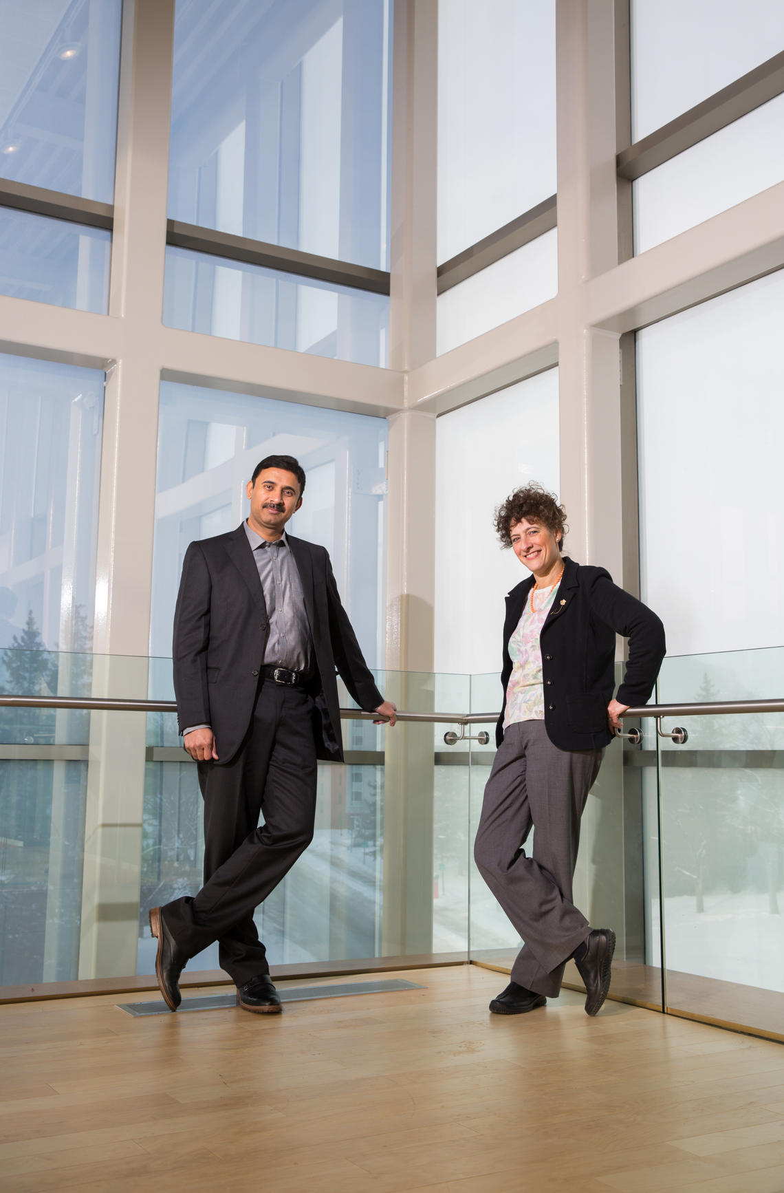
professor Stefania Bertazzon, right, and Rizwan Shahid, a geographic information scientist at AHS.
Riley Brandt, University of Calgary
A University of Calgary study of seasonal air pollution will be of cold comfort to thousands of Calgarians living south of the Bow River: that crisp, wintry air they’re breathing in is the worst in the city.
The analysis, conducted by Stefania Bertazzon and Rizwan Shahid of the Geography of Health and GIS Analysis research group at the O'Brien Institute for Public Health in the Cumming School of Medicine, sheds new light on air quality variations and the potential impact on schoolkids in neighbourhoods that lend themselves to more active forms of transportation. Bertazzon is a professor in the Department of Geography. Shahid is an adjunct assistant professor for the department and a geographic information scientist at Alberta Health Services.
“I’ve done studies on air pollution and every time someone sees the data they say, ‘Oh, wow, the area where I go jogging is in one of the most polluted parts of the city,” Bertazzon explains. “People do not realize how much air pollution varies throughout the city. Rizwan had been doing a lot of work on child obesity and neighbourhood walkability, so we put our heads together.”
For the uninitiated, GIS is a geographic information system designed to capture, manipulate, and analyze datasets that can then be presented in geographic mapping overlays.
UCalgary’s Geography of Health and GIS Analysis research group studies the relationships between health and place and serves as a hub, connecting geographical expertise with health research.
The team pulled readings from the city’s network of air monitoring stations, as well as data from The City, to devise their own air quality health index with readings for ozone (03), nitrogen dioxide (NO2) and particulate matter (PM2.5), pollutants that impact human health. Using ArcGIS software and open data from the City of Calgary, the team mapped school neighbourhoods and assigned to each a walk score, bike score and transit score to calculate just how foot-, cycle- and transit-friendly they are for kids.
They found some surprising seasonal variations.
Mapping Calgary’s air
The maps below categorize air quality into low-, medium-, and high-pollution levels, relative to Calgary’s recorded values. High values on the maps correspond to ‘moderate risk’ on Environment Canada AQHI (Air Quality Health Index) scale.
In the summer, northeast Calgary sees the highest localized concentration of bad air. But in the winter, it’s south Calgary that sees some of the highest levels of air pollution.
“This was the big surprise,” says Bertazzon. “In Calgary we tend to know the northeast is bad for pollution for a number of reasons, but this shows we cannot assume it’s restricted to that quadrant alone, especially in winter.”
Why these areas and not others?
The data is consistent with seasonal wind patterns: southwest breezes in the summer and northern gusts in the winter. Pollution levels tend to be higher along main traffic corridors. Northeast Calgary has several. Shahid and Bertazzon point out the area also has a higher concentration of industrial emitters and is home to an international airport. Prevailing winds and topography are also factors. Running north-south, Deerfoot Trail is a major source of localized pollution. During the winter, pollution diffuses throughout the corridor. Beyond that, Shahid and Bertazzon agree further analysis is needed to fully explain the variations
What are the risks?
Active forms of transportation such as transit, walking and biking are healthy alternatives, but the benefits can be reduced if the air is bad: You might be contributing less noxious pollutants, but you’re exposing yourself to those already floating around, Shahid explains.
Exposure at an early age can trigger environmental allergies, respiratory problems and even affect a child’s body mass index (BMI), which can lead to even more health problems down the road. Furthermore, at least one study has shown children enrolled in schools located in areas with higher traffic-related pollution exhibit less cognitive development than kids in areas with better air.
Buses idling at the height of little lungs do nothing to alleviate the problem, say Shahid and Bertazzon.
So should we send our kids to school wearing masks?
“It points to the existence of a problem, but we don’t want to cause a panic here,” says Bertazzon.
Overall, Calgary’s air quality is pretty good. In an international comparison of urban air quality published in 2016, Calgary fared better than Montreal, Toronto and Edmonton in levels of PM2.5, and well below the international average ambient concentration of NO2.
Yet research shows even low concentrations can have adverse health effects.
Both Bertazzon and Shahid acknowledge further research is needed to understand air pollution patterns in Calgary. Monitors placed in schoolyards at high traffic times (school pickup and drop-off times) would yield better data that could inform strategies to help protect little lungs, such as the better design of school bus parking areas away from playgrounds.
What’s next?
The team has shared their findings with the Calgary Region Airshed Zone and Alberta Health Services, and hopes to connect with Calgary school boards to help them understand the data and press for enforcement of idle-free strategies.
Until then, Bertazzon and Shahid suggest all Calgarians might consider implementing better breathe-safe practices: Kids should walk or bike on dedicated paths away from main traffic flows. Parents are asked to not walk young children near idling school buses — cross the street and walk on the other side, says Bertazzon.
“A very short distance away from roads makes a big difference,” says Bertazzon.
The Geography of Health and GIS Analysis research group is expanding the boundaries of geographical enquiry and spatial thinking in population and public health, and recently organized an event to promote and showcase GIS research in health.
